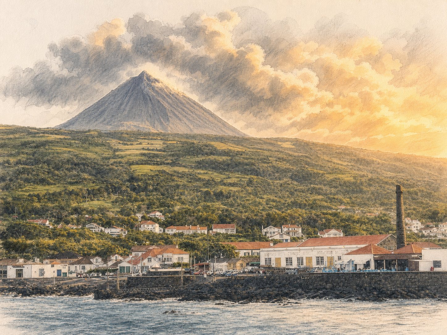
Short answer
The Azores Triangle—Pico, Faial and São Jorge—sits in a tectonically complex part of the North Atlantic near the meeting of the North American, Eurasian and Nubian plates. Volcanism built the islands; people later reshaped them through settlement, vineyards, whaling and inter-island exchange. The documentary story begins with Portuguese exploration and settlement in the fifteenth century, while new environmental research raises a debated possibility of earlier human presence.
A careful human timeline
Read this as a Pico timeline within two wider stories: the Azores grew as a Portuguese Atlantic archipelago, and major changes in Portugal also reshaped island government, trade and identity. Some national turning points happened on other islands—especially Terceira—but belong to the context needed to understand Pico.
Choose a year
1427
a date commonly associated with probable Portuguese knowledge or discovery of the Azores in official tourism chronologies.
1439
a royal decree documents plans for settlement; individual islands were populated at different times.
From the 1460s
Faial’s settlement accelerated under Josse van Huertere, with a notable Flemish connection.
Chiefly from the 1480s
Pico is generally described as one of the last Central Group islands to be settled in the Portuguese period.
1562–64
Pico’s first documented historic eruption transformed inhabited landscapes.
1580–1640
during the Iberian Union, Portugal and Spain shared a monarch. The Azores became strategically important on Atlantic routes; Terceira resisted the new dynasty until 1583, while Portuguese shipping near the islands became exposed to wider Anglo-Spanish conflict.
1718 and 1720
further documented eruptions on Pico sent lava towards the coast and reshaped settled land.
Seventeenth to twentieth centuries
wine, maritime trade, whaling, migration and changing agricultural cycles shaped Pico and its neighbours.
1828–34
during Portugal’s Liberal Wars, Terceira became the principal Liberal base. Forces departed the Azores for mainland Portugal in 1832, making the archipelago part of the national transition towards constitutional government.
1957–58
Capelinhos added new land to Faial and contributed to displacement and emigration.
1974–76
Portugal’s Carnation Revolution ended the Estado Novo dictatorship in 1974. The democratic Constitution of 1976 established the Autonomous Region of the Azores and its elected regional institutions.
2004
UNESCO inscribed the Landscape of the Pico Island Vineyard Culture as World Heritage.
The UNESCO property preserves a working system of small plots enclosed by dry-stone basalt walls. These currais protect vines from wind and salt. The listed property covers 987 hectares with a 1,924-hectare buffer, and its history reaches back to the island’s fifteenth-century settlement. Its nineteenth-century peak, later vine diseases and subsequent recovery are part of a living landscape—not a frozen museum scene.
Discovery and settlement of Pico
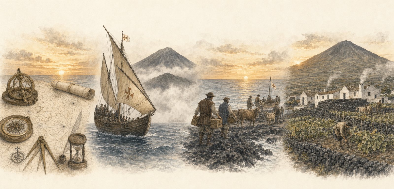
Portuguese sailors knew the Azores in the fifteenth century, and Pico is generally described as one of the last Central Group islands settled in the Portuguese period, chiefly from the 1480s. Environmental evidence published in 2021 points to possible human influence centuries earlier, but it does not yet identify a particular people or prove a permanent colony.
Reading Pico through historic maps
Historic maps are evidence of how Pico and the Azores were described in their own time, not substitutes for modern geographic data. The original coastline, labels and imperfections are preserved; each image should carry its date, cartographer, holding collection and reuse status.
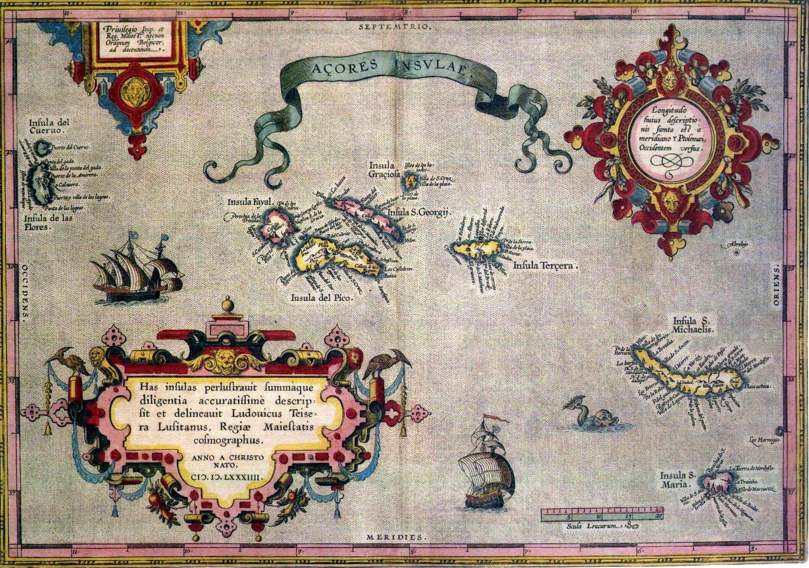
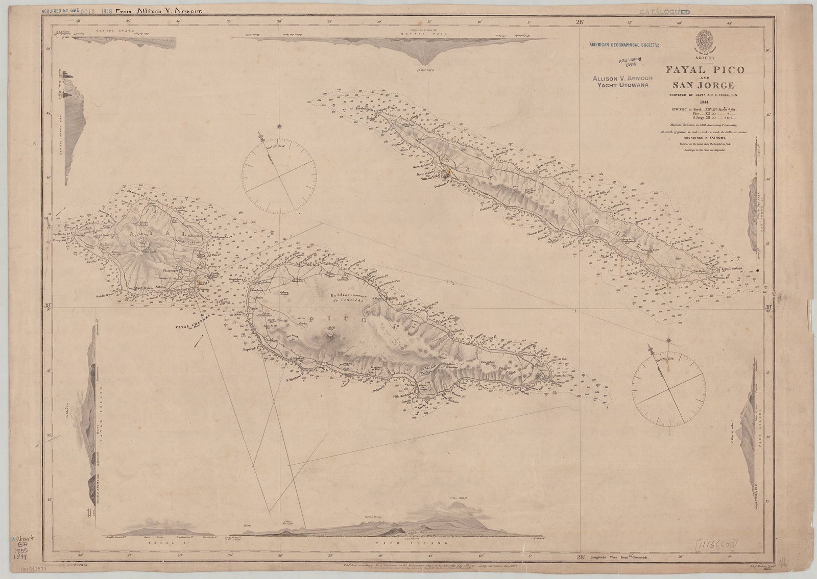
Old charts preserve changing knowledge of the islands—and the limits and errors of their makers.
Sailing the Azores Triangle
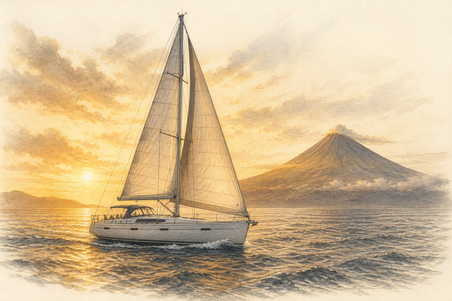
Short crossings connect the three islands geographically and culturally, carrying people, goods and ideas across the Central Group. Their apparent closeness should not hide the reality of Atlantic wind, swell and fast-changing visibility: routes and conditions must always be checked with current maritime information.
Ships and conflict in waters around the Triangle
The Azores’ mid-Atlantic position placed the islands beside routes used by merchantmen, privateers and naval forces. Each encounter belongs to a different wider story: the Iberian Union and Anglo-Spanish War, the War of 1812 in a neutral Portuguese harbour, and the Second World War while Portugal remained officially neutral. This selective timeline connects those international conflicts to the Azores and Portugal; locations remain carefully stated and the illustrations are atmospheric reconstructions, not tactical maps.
Three separate pencil-and-watercolour scenes of the Cinco Chagas in 1594, General Armstrong in 1814 and U-581 in 1942
Choose a year
The loss of the Cinco Chagas
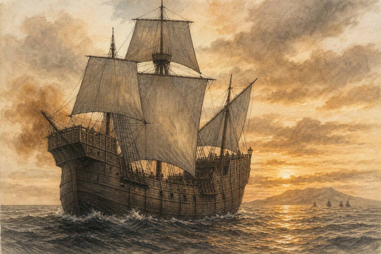
In 1594, English ships fought the Portuguese carrack Cinco Chagas in waters south of the Faial–Pico channel; the ship burned with catastrophic loss of life.© Atlantic Heritage Unipessoal Lda Portugal was then joined to Spain under the same Habsburg monarch in the Iberian Union. A Portuguese carrack returning on the India route was therefore caught in the wider Anglo-Spanish War. The event is connected to the Triangle by its offshore location, not by evidence of a land battle on Pico; exact ship positions in the artwork are interpretive.
General Armstrong in Horta
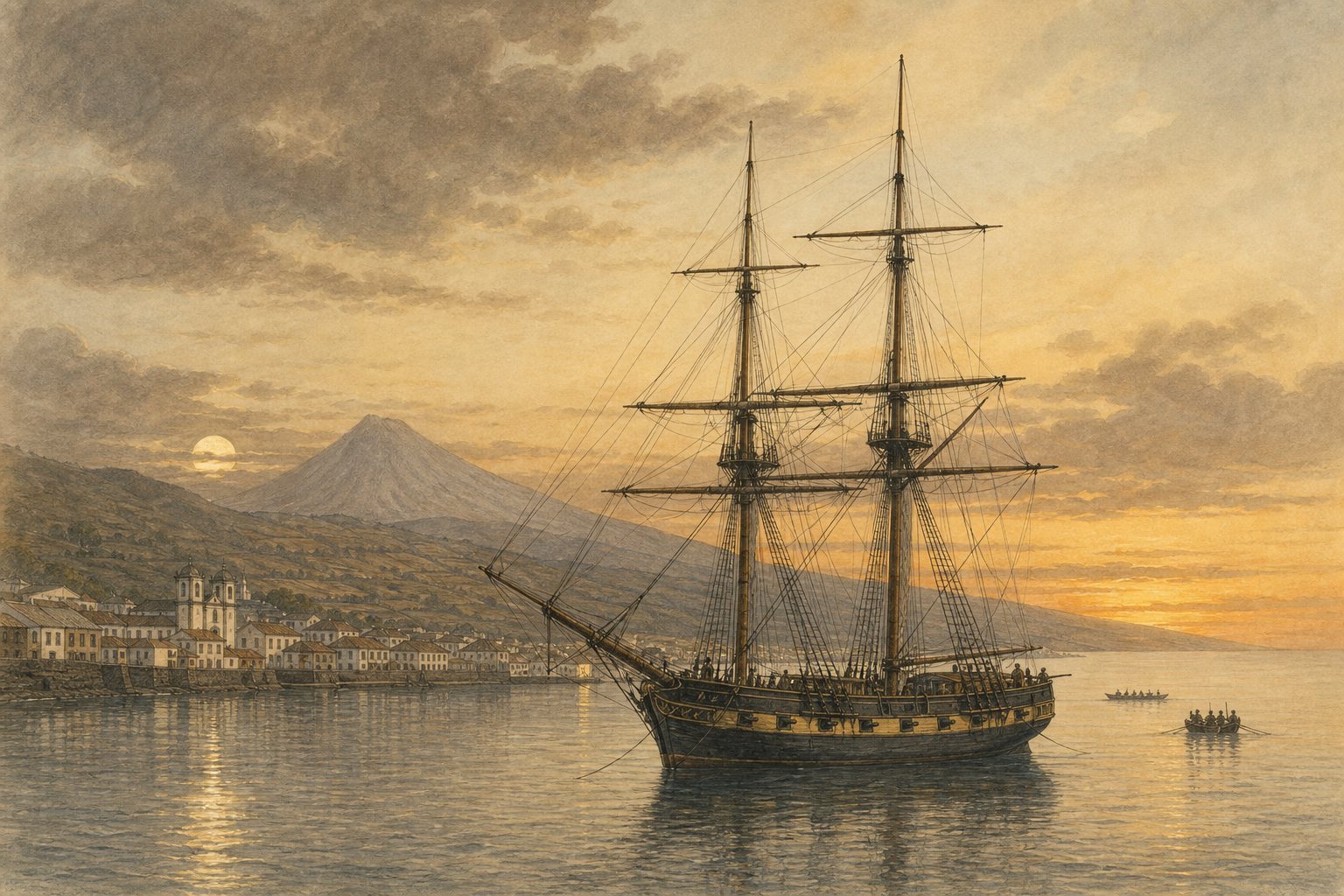
The General Armstrong action took place in Horta harbour on Faial in 1814, within sight of Pico across the channel.© Atlantic Heritage Unipessoal Lda This action belonged to the War of 1812 between the United States and Britain. Horta was a Portuguese neutral harbour, so the British attack also raised an international dispute about respect for Portugal’s neutrality. It is part of the Triangle’s shared maritime setting, but it was not a battle fought on Pico.
U-581 in the Faial–Pico channel
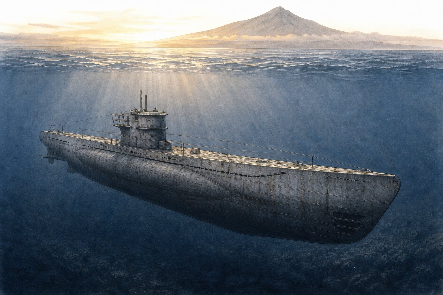
After an encounter with HMS Westcott in 1942, U-581 was scuttled in the channel between Faial and Pico.© Atlantic Heritage Unipessoal Lda Portugal was officially neutral in the Second World War. This 1942 encounter shows the Azores’ strategic position before Portugal later granted Allied access to Lajes on Terceira in 1943. The wreck belongs to the channel’s wartime history; the illustration does not establish a precise wreck position and is not a navigation aid.
These encounters belong to the maritime history of waters around Pico and Faial; they do not mean that Pico itself was the battlefield in every case.
From whaling to whale watching
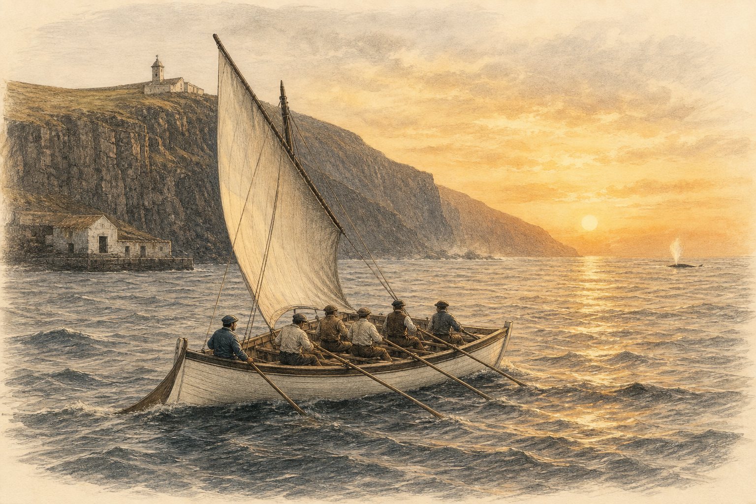
Shore-based whaling reached Faial in 1851 and Lajes do Pico in 1867, becoming a difficult part of island livelihoods and identity. The last sperm whale was killed in the Azores in 1987; organised whale watching began from Lajes in 1989. Museums, boats and lookout posts preserve the human history without romanticising the killing of whales.
Myth versus evidence
“The Azores are the remains of Atlantis”
This is a compelling modern association, not an accepted archaeological conclusion. Current geology explains Pico, Faial and São Jorge as oceanic volcanic islands in an active plate-boundary region. No accepted body of archaeological evidence identifies the archipelago as Plato’s Atlantis. The story belongs to cultural imagination unless new evidence changes the scholarly picture.
“Pico is the world’s tallest mountain when measured from the seabed”
Pico is 2,351 metres above sea level. The Azores Geopark states that the volcano rises about 3,500 metres above the surrounding seafloor and describes it as the third-largest volcano in the North Atlantic. Adding an underwater foundation helps explain scale, but there is no single universally applied “tallest from base” method across mountains and volcanoes. The precise, defensible claim is that Pico is Portugal’s highest point and a very large oceanic volcano.
“The Azores have four seasons in one day”
The phrase captures lived experience but is not a scientific climate classification. Maritime airflow, changing fronts, altitude and steep island topography can create rapid local variation in cloud, shower, wind and sun. It is useful packing advice—carry layers and waterproof protection—but not a literal meteorological rule.
“People certainly lived here centuries before the Portuguese”
A 2021 multiproxy study reported signs of widespread human disturbance dated approximately 700–850 CE, several centuries before Portuguese documentary settlement. The authors found the pattern consistent with possible earlier visitors, including a possible Norse context. This is important research, but interpreting environmental proxies as proof of a particular people or permanent colony remains debated. The safe wording is that evidence for pre-Portuguese human influence is under active scientific discussion.
The Azores first: three groups and nine islands
Before focusing on Pico, place it within the whole archipelago. The nine Azorean islands are arranged from west to east in three geographic groups:
- Western Group: Flores is known for crater lakes, waterfalls and a deeply cut green landscape; Corvo is the smallest island and is dominated by the Caldeirão volcanic crater.
- Central Group: Faial combines Horta’s maritime history with the young land of Capelinhos; Pico is defined by Portugal’s highest mountain and its vineyard landscape; São Jorge follows a long volcanic ridge above distinctive coastal fajãs; Graciosa has a gentler profile and the Furna do Enxofre; and Terceira joins the historic city of Angra do Heroísmo to a volcanic interior.
- Eastern Group: São Miguel is the largest island, with major crater lakes and geothermal landscapes; Santa Maria is the oldest Azorean island and stands apart through its generally drier scenery, pale beaches and exposed sedimentary rocks.
The Azores Triangle is not a fourth group. It is the close relationship formed by Pico, Faial and São Jorge within the Central Group. Starting with all nine islands, then narrowing to these three neighbours, gives the geography that follows a clear scale: archipelago, group, Triangle and finally Pico.
Why three islands form a “Triangle”
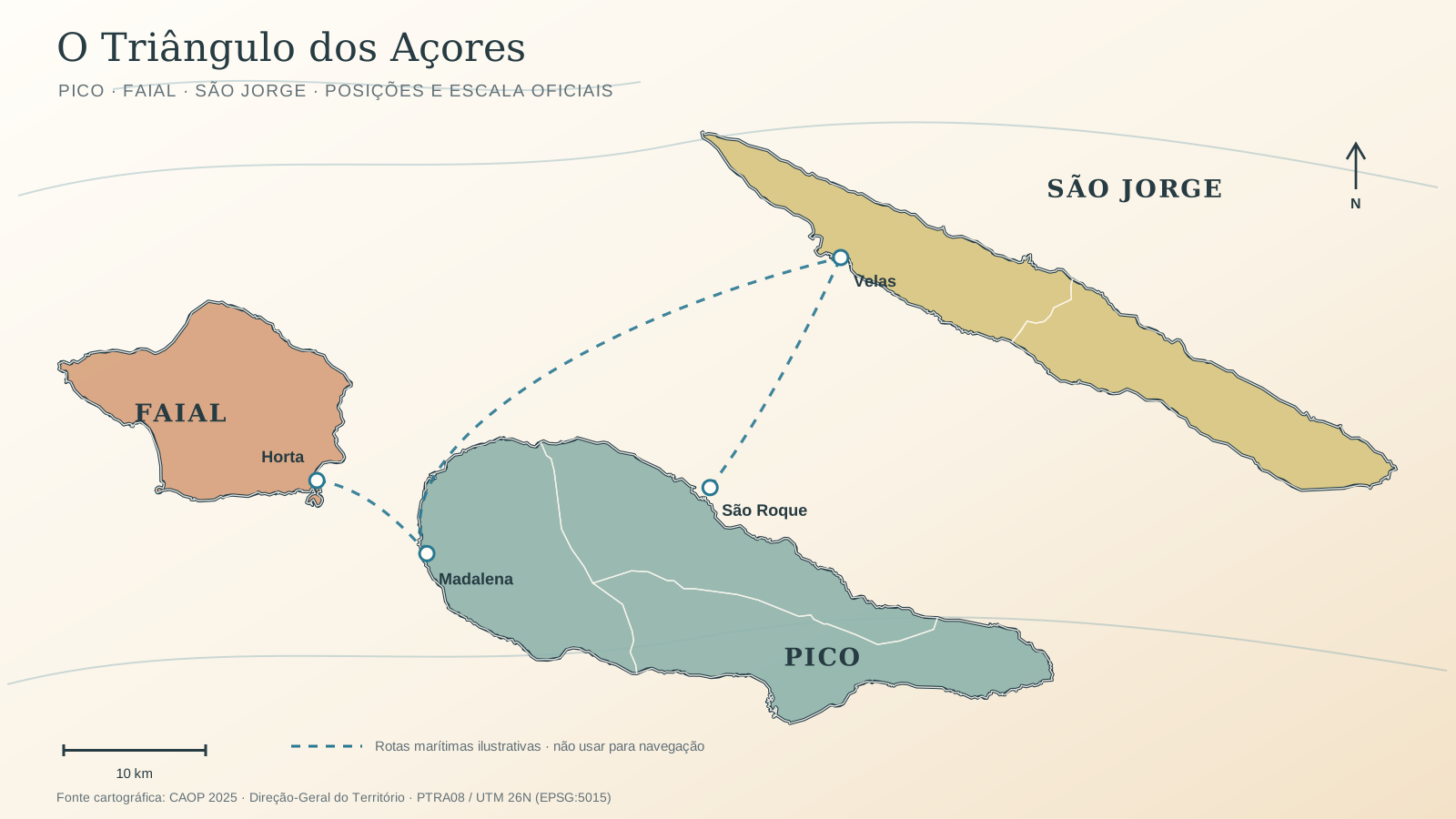
Pico, Faial and São Jorge are called the Triangle because short sea passages connect their positions in the Central Group. The name is geographic and cultural, not a separate geological plate.
Geodesy describes the wider Azores as a diffuse triple-junction region involving the North American, Eurasian and Nubian plates. A 2022 GPS study estimated roughly 4.2–4.8 millimetres per year of spreading across the Eurasian–Nubian boundary in the studied area. That slow movement is meaningful over geological time; it is not a day-to-day forecast of earthquakes or eruptions.
For live seismic and volcanic information, use the Azores’ official monitoring services rather than an evergreen travel article.
Pico, Faial and São Jorge: the Azores Triangle
The island outlines and relative positions are derived in a projected coordinate system so their spatial relationship is preserved. Port dots are approximate orientation points, and dashed lines explain inter-island connections rather than depicting a current ferry track.
Three volcanic islands, three different records
Pico is a 2,351-metre stratovolcano—the highest point in Portugal—built above oceanic crust and accompanied by fissure systems. Documented historic eruptions occurred in 1562–64, 1718 and 1720. The 1562–64 event associated with Mistério da Prainha is described by the Azores Geopark as the longest reported eruption in Azorean history. “Mistério” became a local name for lava-created terrain whose origin was mysterious to communities living through it.
Faial’s most famous modern event began at Capelinhos on 27 September 1957 and continued until 24 October 1958. Explosive and effusive phases created new land that joined Faial. A 1672–73 eruption had already affected the island’s western side. Capelinhos remains a powerful place to see how quickly a coast can change.
São Jorge is a long basaltic fissure island with steep cliffs and coastal fajãs. Confirmed events include the 1580 eruption, whose flows reached the sea; activity in 1808 involving explosions and lava; and a confirmed submarine event in 1902. Fajãs can form through lava reaching the coast or through collapses and sediment processes, so they do not all share one origin.
Mount Pico: from sea level to the summit

Azores weather: mild Atlantic seasons and a famous high-pressure system
The Azores are wonderfully temperate rather than permanently cloudless. The ocean softens winter cold and summer heat, so the coast stays inviting across the year—even while sun, showers and breeze can trade places quickly.
A comfortable annual curve
Central Azores coastal temperatures
At Horta, the official 1991–2020 reference station nearest Pico with a complete published normal, average daily temperatures move from 14.5°C in February to 23.0°C in August. Average daytime highs range from 16.7°C to 25.8°C.
Why it often feels so easy to be outdoors
The small annual range is the gift of an oceanic setting. The lived temperature can still differ from the thermometer, but on the coast extremes are uncommon and there is usually a comfortable part of the day for exploring.
Ocean moderation
The Atlantic warms and cools slowly, easing abrupt temperature swings between day and night and between seasons.
Moving air
Sea breezes can make warm afternoons feel lighter; on cooler days the same wind makes a layer worthwhile.
Soft light, quick changes
Cloud and short showers often alternate with bright openings, producing fresh air, vivid greens and excellent photographic light.
Humidity, wind, elevation and direct sun change how the air feels. Mount Pico is a high-alpine environment, not an extension of the mild coast; always follow the mountain forecast and official advice.
A North Atlantic weather engine
What the Azores High actually does
The Azores High is the subtropical high-pressure centre in the North Atlantic. Air circulates clockwise around it in the Northern Hemisphere, and its strength and position help steer winds, moisture and storm tracks. Together with the Icelandic Low it forms the North Atlantic Oscillation, influencing temperature, rain and wind from eastern North America to western and central Europe. Its name does not mean the high always sits over the islands—or that it controls all weather worldwide.
December–February
Green, gentle winter
Mild coastal days, fuller waterfalls and dramatic skies; bring a light warm layer and waterproof shell.
March–May
Fresh spring
Lengthening days, luminous greens and comfortable walking temperatures, with changeable showers still part of the rhythm.
June–September
Warm Atlantic summer
The brightest and warmest period, usually without continental heat extremes; sea breezes and evening air remain welcome.
October–November
Soft autumn
The ocean releases summer warmth slowly, giving mild temperatures, rich light and a quieter island between passing fronts.
How science changes the way you visit
At Criação Velha, basalt walls are not decoration: they record adaptation to young rock, wind and salt. At Capelinhos, the contrast between older green land and the dark 1957–58 deposits makes geological time visible. On São Jorge, fajãs show how lava, slope failure and coastal processes make limited flat land that communities then learned to use.
History also changes the view. Whaling museums preserve a difficult economic era and the knowledge that later helped islanders develop non-lethal whale watching. Harbours record movement among the Triangle islands; vineyards record work, trade, disease and recovery.
The responsible way to tell these stories is to keep dates, sources and uncertainty attached. Myth can enrich a journey, but it should not replace evidence—and science becomes more memorable when it is connected to the places people can actually see.
Sources and verification
Official and primary sources used for this article. Links checked 5 September 2026.
- Smithsonian Institution — Global Volcanism Program
- Smithsonian Institution — Global Volcanism Program
- Smithsonian Institution — Global Volcanism Program
- Azores Geopark — official geology and history resources
- Journal of Geophysical Research — peer-reviewed research
- UNESCO — Landscape of the Pico Island Vineyard Culture
- PubMed — peer-reviewed scientific record
- Azores Geopark — official geology and history resources
- turismo.azores.gov.pt
- Portuguese Parliament — history of democracy
- U.S. Naval History and Heritage Command — Battle of Fayal
- Portuguese Naval Academy — archival research
- Visit Azores — official destination information